Form of precipitation: Water, sleet or snow?

Form of precipitation is affected by many factors, for example humidity of the air and the temperature in all layers of air on the path from cloud to ground.
Precipitation can fall in many different forms. These include rain, sleet, snow, drizzle, freezing rain, hail, ice pellets and graupel.
Most precipitation starts off in the cloud as ice or snow
In high latitudes as much as 90% of precipitation starts falling as ice crystals or snow. The temperatures in the layers of air between the cloud and ground defines whether the ice crystals or snow will melt before falling on the ground.
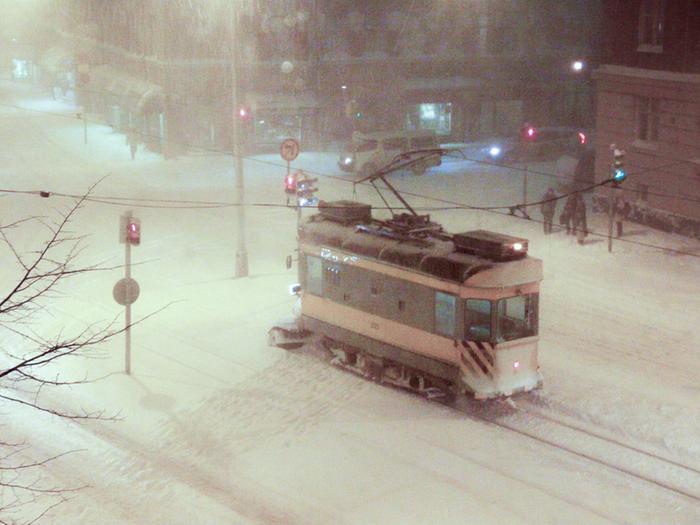
In winter, when the air between the cloud and the ground is mostly in freezing temperatures, precipitation reaches the ground as snow. In summer most or all of the air between the cloud and ground is above freezing points, and the snowflakes melt, and rain falls to the ground.
How precipitation type forecasts are made
Dew point temperature helps predict precipitation type. Dew point temperatures show how dry or humid the air is and indicate whether falling ice crystals and snowflakes have time to melt.
The drier the air is, the more solid states of precipitation can be expected even in higher temperatures. Sometimes snow can fall even if the air temperature was several degrees above freezing point. In these cases the air is so dry, there isn't enough time for the precipitation to melt. This can happen, because the evaporation of the precipitation lowers temperatures locally.
The more humid the air is, the more heat it can absorb. Thus in very humid weather precipitation is more likely to fall as rain, even if the temperature of the air was close to freezing point temperature.
Article last updated 2/25/2021, 8:13:00 AM

